Ir al contenido principal
Ir al menú de navegación principal
Ir al número actual
Ir al pie de página del sitio
Open Menu
REVISTA INTERNACIONAL MAPPING
Actual
Archivos
Avisos
Acerca de
Sobre la revista
Submissions
Buscar
Registrarse
Entrar
Número actual
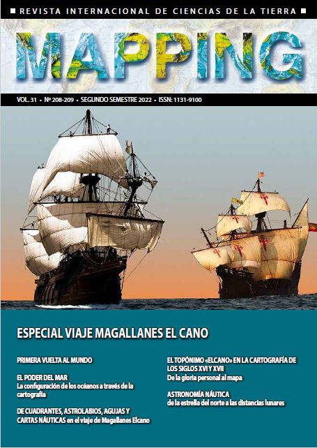
Vol. 31 Núm. 208-209 (2022): Revista MAPPING 208-209
Publicado:
2022-12-15
Número completo
PDF
Artículos Científicos
Primera vuelta al mundo
Manuel Sieira Valpuesta
4-11
PDF
El poder del mar. La configuración de los océanos a través de la cartografía
Carmen García Calatayud
12-24
PDF
De cuadrantes, astrolabios, agujas y cartas náuticas en el viaje de Magallanes y Elcano
José María Moreno Martín
26-33
PDF
El topónimo «Elcano» en la cartografía de Guipúzcoa de los siglos XVI y XVII. De la gloria personal al mapa
Marcos Pavo López
34-50
PDF
Historia de la Cartografía
Astronomía náutica: de la estrella del norte a las distancias lunares
Mario Ruiz Morales
52-80
Ver todos los números
Idioma
English
Español (España)
Enviar un artículo
Enviar un artículo
Número actual