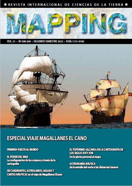
The place name "Elcano" in the cartography of Guipúzcoa in the 16th and 17th centuries. From personal glory to the map
DOI:
https://doi.org/10.59192/mapping.429Keywords:
Elcano, Elkanogoena, Guetaria, Getaria, toponymy, Guipúzcoa, Gerard de Jode, OrteliusAbstract
After having captained the return voyage to Spain of the only surviving ship of the Armada de la Especiería, the surname Elcano was forever linked to the greatest milestone in the history of exploration. The glory associated with the feat of the sailor from Guipuzcoa resulted in a curious phenomenon: the oversized appearance of the small town of Elcano on some maps of the 16th and 17th centuries, to the point of eclipsing the much more important town of Guetaria, his true birthplace.
Downloads
References
Aguinagalde, F. B. (2016), ¿Qué sabemos realmente sobre Juan Sebastián de Elcano? Resultados provisionales de una indagación llena de dificultades, en: In medio Orbe. Sanlúcar de Barrameda y la I Vuelta al Mundo. Actas del I Congreso internacional sobra la I Vuelta al Mundo. Disponible en http://sanlucarprimeravueltaalmundo.com/inmedioorbe/
Aguinagalde, F. B. (2017), El Archivo personal de Juan Sebastián de Elcano (1487-1526), marino de Getaria, en: In Medio Orbe (II). Personajes y avatares de la I vuelta al mundo. Actas del II Congreso internacional sobre la I Vuelta al Mundo. Consejería de Cultura y Patrimonio Histórico. Junta de Andalucía.
Broecke, M. van den (2011). Ortelius Atlas Maps. An illustrated Guide. Hes & de Graaf Publishers BV. Gran parte de la información está disponible en la web del autor https://orteliusmaps.com/
Camacho, M. E. (2020). Un trabajo de arqueología topográfica. La recuperación de líneas límite municipales antiguas. Revista del Mitma nº 705. Madrid. Disponible en https://www.mitma.gob.es/el-ministerio/informacion-para-el-ciudadano/revista/listado-de-revistas/no-705-julio-agosto-2020
Campbell, T. (1986). Census of pre-sixteenth-century portolan charts. Imago Mundi. Vol. 38, pp. (67-94). Comentado y actualizado en https://www.maphistory.info/portolancensus.html. DOI: https://doi.org/10.1080/03085698608592606
Gil, J. (2019). El Rol del Viaje, en, La primera vuelta al mundo. Edición conmemorativa del V centenario del viaje de Magallanes y Elcano (1519-2019). Taberna Libraria. Madrid.
Gorosabel, P. (1862). Diccionario Histórico-Geográfico-Descriptivo de los pueblos, valles, partido, alcaldías y uniones de Guipúzcoa. Imprenta de Pedro Gurruchaga. Tolosa. Disponible en www.liburuklik.euskadi.eus//applet/libros/JPG/diputacion/FSS_010349/FSS_010349.pdf
Hernando, A. (1995). El mapa de España. Siglos XV-XVIII. Instituto Geográfico Nacional. Madrid.
Hernando, A. (1998). Contemplar un territorio. Los mapas de España en el Theatrum de Ortelius. Instituto Geográfico Nacional. Madrid.
Karrow, R. (1993). Mapmakers of the sixteenth century and their maps. Bio-Bibliographies of the cartographers of Abraham Ortelius, 1570. Speculum Orbis Press. Winnetka, Illinois.
Koeman, C. (1967-1971), Atlantes Neerlandici. Bibliography of terrestrial, maritime and celestial atlases and pilot books, published in the Netherlands up to 1880. Theatrum Orbis Terrarum. Ámsterdam.
Koeman, C., Schilder, G., Van Egmond, M., Van der Krogt, P. (2007). Commercial Cartography and Map Production in the Low Countries, 1500–ca. 1672, en The History of Cartography Volume Three (Part 2). The University of Chicago Press. Chicago.
Múgica S., Arocena, F. (1931). Un documento importante, San Salvador de Olazábal. Revista Internacional de los Estudios Vascos = Revue Internationale des Etudes Basques. Donostia/San Sebastián.
Pavo, M. (2017). Un Nomenclátor en el siglo II: la Geographia de Claudio Ptolomeo. Boletín de la Real Sociedad Geográfica CLII. Imprenta Nacional de la Agencia Estatal Boletín Oficial del Estado. Madrid.
Real Decreto 1545/2007, de 23 de noviembre, por el que se regula el Sistema Cartográfico Nacional. Boletín Oficial del Estado (2007). Disponible en https://www.boe.es/diario_boe/txt.php?id=BOE-A-2007-20556
Schilder, G. (2000). Monumenta Cartographica Neerlandica VI. Dutch folio-sized single sheet maps with decorative borders, 1604-60. Uitg. Canaletto/Repro- Holland. Alphen aan den Rijn.
Skelton. R. A. (1965). Speculum Orbis Terrarum Antwerpen 1578. Editorial Theatrum Orbis Terrarum. Ámsterdam.
Zulaika, D. (2021). La Getaria de Elcano (1487-1526). Donostia/San Sebastián.
Downloads
Published
How to Cite
Issue
Section
License

This work is licensed under a Creative Commons Attribution-NonCommercial-NoDerivatives 4.0 International License.


