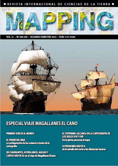
Astronomía náutica: de la estrella del norte a las distancias lunares
Keywords:
Latitude, Longitude, Rhumbe, LoxodromicAbstract
The development of nautical astronomy led to the gradual disappearance of coastal shipping in favor of offshore. This article makes a quick historical tour, with express mention of two of the most important observation instruments (the astrolabe and the kamal), in
the calculation of the latitude of the place, as the height of the pole. A tight synthesis is also made of the special impact that the appearance of the compass and that of the Portulans had on navigation. The deserved role of Martín Cortés is also highlighted, who postulated before Mercator the convenience of using increasing latitudes in marine charts. Throughout the text the secular problem of lengths is mentioned several times, concluding it with an extensive comment on the method of lunar distances to remember the brilliant contribution of the brilliant marine and mathematician José de Mendoza y Ríos.
Downloads
Published
How to Cite
Issue
Section
License

This work is licensed under a Creative Commons Attribution-NonCommercial-NoDerivatives 4.0 International License.


