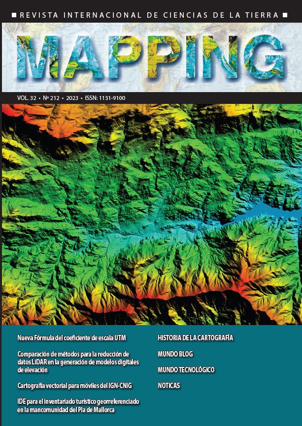
IGN-CNIG mobile vector cartography. Project creation
DOI:
https://doi.org/10.59192/mapping.433Keywords:
IGN, CNIG, Mobile applications, Vector, Off-line, AndroidAbstract
National Centre of Geographic Information mobile applications Mapas de España and Mapas de España Básico as of National Geographic Institute National Topographic Map and Terrain Digital Model (1:25.000). The product consists of a hillshade file in raster format, a data file in vector format and zipped files which include all the symbolization. For that purpose, different software are used like GDAL, Adobe Illustrator or Mapbox. Based on the product initial objective to take up less than 2 gigabytes of storage, a detailed study of available information was done to represent each feature in its minimum level of representation, to take up less as possible. In terms of symbolization, a style was done consist of free use typographic fonts and point, line and polygon symbolization files (called sprites) interpreting National Topographic Map symbology. Finally, all features were transformated and compressed in each level of representation to create the final product.
Downloads
References
Aplicaciones móviles del Instituto Geográfico Nacional (2023). Recuperado de https://www.ign.es/web/diraplicaciones-moviles
Mapbox (2023). Recuperado de https://www.mapbox.com/GDAL (2023). Recuperado de https://gdal.org/
Inkscape (2023). Recuperado de https://inkscape.org/es/
Maputnik (2023). Recuperado de https://maputnik.github.io/
Downloads
Published
How to Cite
Issue
Section
License
Copyright (c) 2023 Revista MAPPING

This work is licensed under a Creative Commons Attribution-NonCommercial-NoDerivatives 4.0 International License.


