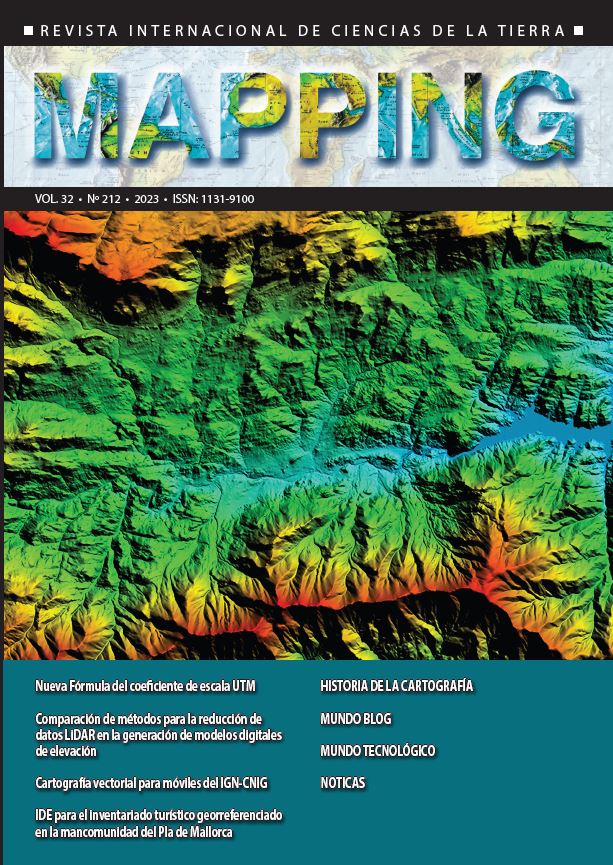
SDI for georeferenced tourist inventory in the Pla de Mallorca consortium
DOI:
https://doi.org/10.59192/mapping.435Keywords:
SDI, STD, Tourist inventory, gvSIG, UNE 178503Abstract
The main objective of the project to develop a georeferenced tourist inventory in the Pla de Mallorca Consortium is to enhance tourism management through a platform based on the concept of Spatial Data Infrastructure (SDI). The project focuses on two key components: a tourist inventory using the UNE 178503 standard for data standardization in Smart Tourist Destinations (STDs), and the implementation of SDI for efficient management of tourist information. The technological foundation utilized is the gvSIG Suite. The project has strengthened decision-making, improved the tourist experience, and progressed in implementing STDs in the Pla de Mallorca, contributing to the modernization of sustainable tourism management in the region.
Downloads
References
Geoportal turístico: https://mallorca.gvsigonline.com/gvsigonline/core/load_public_project/inventarituristic/
IDE de la Mancomunidad de Mallorca: https://mallorca.gvsigonline.com/gvsigonline/
Downloads
Published
How to Cite
Issue
Section
License
Copyright (c) 2023 Revista MAPPING

This work is licensed under a Creative Commons Attribution-NonCommercial-NoDerivatives 4.0 International License.


