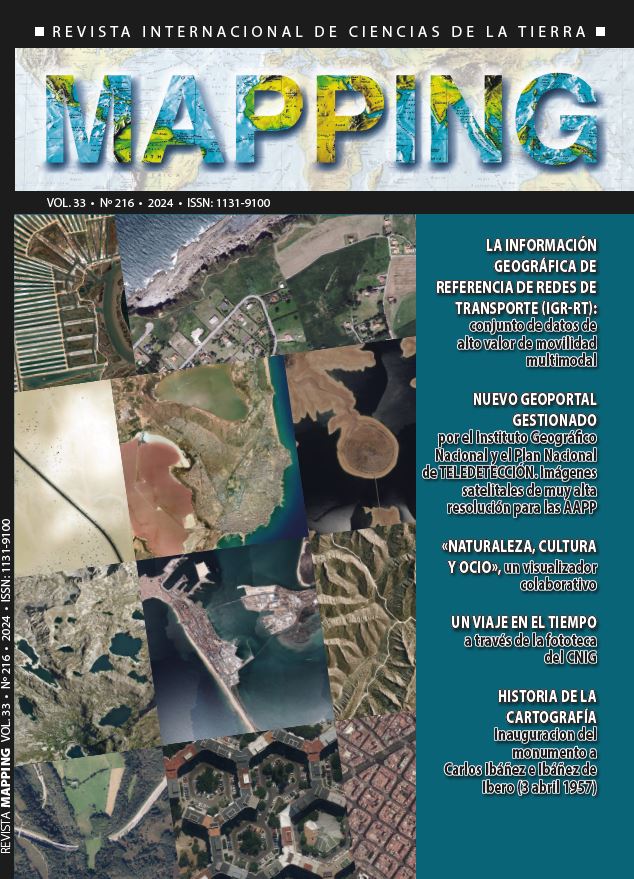
New geoportal managed by theNational Geographic Institute (IGN) and the National Remote Sensing Plan (PNT). Very high-resolution satellite images for public administrations
DOI:
https://doi.org/10.59192/mapping.456Keywords:
PNT, Image, Satellite, Geoportal, ResolutionAbstract
The National Geographic Institute (IGN) has developed a new portal for downloading high-resolution remote sensing images. The purpose of this portal is to facilitate Public Administrations in viewing and downloading the various coverages of the National Remote Sensing Plan (PNT). Currently, there are three coverages of Spain, with high-resolution satellite images (2021, 2022, and 2023). This annual revisit, which exceeds the frequency of the National Aerial Orthophotography Plan, enhances and complements its application in sectors such as agriculture, environment, engineering, and many others.
Downloads
References
Página web del Plan Nacional de Teledetección. https://pnt.ign.es/
Especificaciones de Geosat-2. GEOSAT-2 Overview -Earth Online
Especificación STAC. https://stacspec.org/en
Downloads
Published
How to Cite
Issue
Section
License
Copyright (c) 2025 Revista MAPPING

This work is licensed under a Creative Commons Attribution-NonCommercial-NoDerivatives 4.0 International License.


