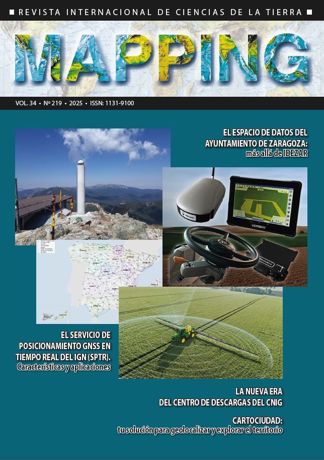
The Zaragoza city council data space: beyond Idezar
DOI:
https://doi.org/10.59192/mapping.471Keywords:
SDI, Data Space, Local AdministrationAbstract
With over 20 years of Spatial Data Infrastructure’s existence, what should its natural evolution be? At the Zaragoza City Council, the chosen path has been the development of a Data Space that systematizes all the Institution's efforts to make its geographic resources available to the entire organization, businesses, and the general public. This article provides details about this Data Space, delving into the methodology implemented across all the City Council offices.
Downloads
References
Fernández Ruíz, M.J., Zarazaga-Soria, F.J. IDEZar: La Infraestructura de Datos Abiertos Espaciales del Ayuntamiento de Zaragoza (2004 - ). Zaragoza: Uni¬versidad de Zaragoza, 2017. https://zaguan.unizar. es/record/60894
Downloads
Published
How to Cite
Issue
Section
License
Copyright (c) 2025 Revista MAPPING

This work is licensed under a Creative Commons Attribution-NonCommercial-NoDerivatives 4.0 International License.


