
The process of preparation of Law 13/2015, of june 24
DOI:
https://doi.org/10.59192/mapping.478Keywords:
Property registration, Real Estate Cadastre, Georeferenced cartography, Coordination, Real estate propertyAbstract
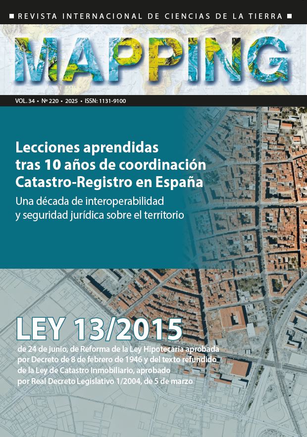
This article describes the process of negotiation, preparation, approval and implementation of Law 13/2015, of June 24, which established coordination between the Property Registry and the Cadastre in the georeferenced graphic description of the properties based on cadastral cartography. Fundamentally, it focuses on the positions defended by the different interest groups: registrars, notaries, technicians, public administrations and representatives of the Ministries of Justice and Finance, both the role they played until the approval of the law and in its subsequent execution.
Downloads
References
El presente artículo está basado fundamentalmente en la experiencia del autor que coordinó el equipo de la Dirección General del Catastro en la elaboración y ejecución de la Ley, por lo que las referencias contenidas en el mismo se basan en los recuerdos de dicho período. Los interesados en profundizar en los aspectos técnicos y jurídicos de la Ley, pueden consultar las siguientes obras:
Delgado Ramos, J. (2022). Georreferenciación de fincas registrales y su coordinación con el Catastro. Barcelona, Ed. Aferré.
Fandos Pons, P. (2016) Los efectos jurídicos de la identificación y descripción gráfica de fincas registrales. Valencia, Ed. Tirant lo Blanch.
Jiménez Gallego, C. (2016) La nueva coordinación Realidad-Catastro-Registro. Valencia, Ed. Tirant lo Blanch.
Puyal Sanz, P. (2016) El nuevo régimen de coordinación entre el Catastro y el Registro de la Propiedad. Valencia, Ed. Tirant lo Blanch.
Trujillo Cabrera, C. (2017). Representación gráfica de fincas en el Registro de la Propiedad. Ed. BOE
Downloads
Published
How to Cite
Issue
Section
License
Copyright (c) 2025 Revista MAPPING

This work is licensed under a Creative Commons Attribution-NonCommercial-NoDerivatives 4.0 International License.

