
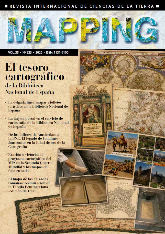
Evasion or victory: MI9’s cartographic program in the Second World War and silk escape maps
DOI:
https://doi.org/10.59192/mapping.503Keywords:
MI9, Second World War, Escape maps, Military cartography, Silk, Prisoners of war, Intelligence, History of cartographyAbstract
During the Second World War, the United Kingdom developed one of the most singular –and for decades least narrated– operations in the applied history of cartography: the clandestine production of maps intended to facilitate the evasion and escape of Allied servicemen captured in Europe. This operation, coordinated by MI9 (Section 9 of the Directorate of Military Intelligence of the War Office), combined three closely interdependent components: 1. an institutional philosophy («escape-mindedness») that transformed the attempt to escape into a duty; 2. a system of coded correspondence that enabled guidance, requests, and verification of resources; and 3. a cartographic programme that employed textile supports –silk, tissue, and semi-synthetic fibres– to maximise portability, durability, and concealment. This article reconstructs and analyses MI9’s cartographic programme by examining its organisational context, its technical materiality (cartography on fabric), its production and distribution mechanisms (large-scale smuggling operations), its real operational uses (escape routes towards Switzerland and Sweden), and its cultural afterlife in the post-war period. The study also incorporates a brief case note on the presence and public dissemination of Second World War silk escape maps held by the National Library of Spain, as an indicator of the international circulation and heritage preservation of these cartographic artefacts.
Downloads
References
Bond, B. A. (1984). «Silk maps: the story of MI9’s excursion into the world of cartography, 1939-1945». Cartographic Journal, 21, p. 141-144.
Bond, B. A. (2015). Great Escapes: The story of MI9’s Second World War escape and evasion maps. Londres: Times Books.
Collins, H. R. (1979). Threads of History; American Record on cloth, 1775 to present. Washington DC: Smithsonian Institution Press.
Connell, C. (1955). The Hidden Catch. Londres: Elek Books.
Doll, J. G. (1999). Cloth maps, charts and blood chits of World War II. Bennington: Merriam Press.
Monmonier, M. [ed.] (2015). The history of cartography. Vol. 6: Cartography in the Twentieth Century. Part 1. Chicago: University of Chicago Press.
Wallis, H., Robinson, A.H. [eds] (1987). «Map Surface, cloth». Cartographical innovations: and international handbook of mapping terms to 1900, 271-274. Tring, UK: Map Collector Publications in association with the International Cartographic Association.
Downloads
Published
How to Cite
Issue
Section
License
Copyright (c) 2026 Revista MAPPING

This work is licensed under a Creative Commons Attribution-NonCommercial-NoDerivatives 4.0 International License.