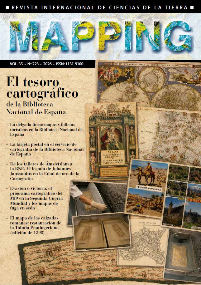
The map of roman roads: restoration of the Tabula Peutingeriana (1598 edition)
DOI:
https://doi.org/10.59192/mapping.504Keywords:
Tabula Peutingeriana, Jan Moretus, Roman roads, Restoration, Burin graver, Print, LeafcastingAbstract
The recovery of a sixteenth-century book containing a copy of the Tabula Peutingerianaoffers us a unique opportunity to explore one of the most original cartographic documents from Antiquity. Before delving into the technical aspects of its restoration, it is important to understand the singularity of this work. The Tabula Peutingeriana is not a conventional map; it is a road map, an elongated and almost symbolic representation of the network of roads that crossed the vast Roman Empire. Its lines show routes, cities, and distances—not with the aim of depicting the territory as we would see it today, but to illustrate how people traveled and how different points in the Roman world were connected. Its value is immense, as it stands as one of the most complete testimonies we have about the organization of territory and communications in that era. The restoration work aims to halt deterioration, stabilize the materials, and ensure its preservation for the future, allowing researchers and the general public to continue accessing this valuable cartographic document.
Downloads
References
DE SOTO, P., PAŽOUT, A., BRUGHMANS, T., et al. (2025): «Itinere: un conjunto de datos de alta resolución de caminos del Imperio Romano», Datos científicos, 12, 1731.
JUSUÉ, Eduardo (1893): La Tabula Peutingeriana o Mapa muy antiguo del Imperio Romano, Madrid, Librería de la Viuda de Hernando y Ca.
MOLINA MARÍN, A.I. (2010): «Itinerarios romanos: La Tabula Peutingeriana», Antigüedad y cristianismo: revista de estudios sobre Antigüedad tardía, (27), 337–342. Murcia, Universidad de Murcia, Área de Historia Antigua.
MUÑOZ VIÑAS, Salvador (2010): La restauración del papel, Madrid, Editorial Tecnos.
Prevención del Biodeterioro en Archivos y Bibliotecas (2005), Madrid, Instituto del Patrimonio Histórico Español, Dirección General de Bellas Artes y Bienes Culturales, Secretaría de Estado de Cultura, MECD.
SALWAY, B. (2005): «Naturaleza y génesis del mapa de Peutinger», Imago Mundi, 57 (2), 119135.
VIVES PIQUÉ, Rosa (2003): Guía para la identificación de grabados, Madrid, Editorial ARCO/LIBROS.
Downloads
Published
How to Cite
Issue
Section
License
Copyright (c) 2026 Revista MAPPING

This work is licensed under a Creative Commons Attribution-NonCommercial-NoDerivatives 4.0 International License.