
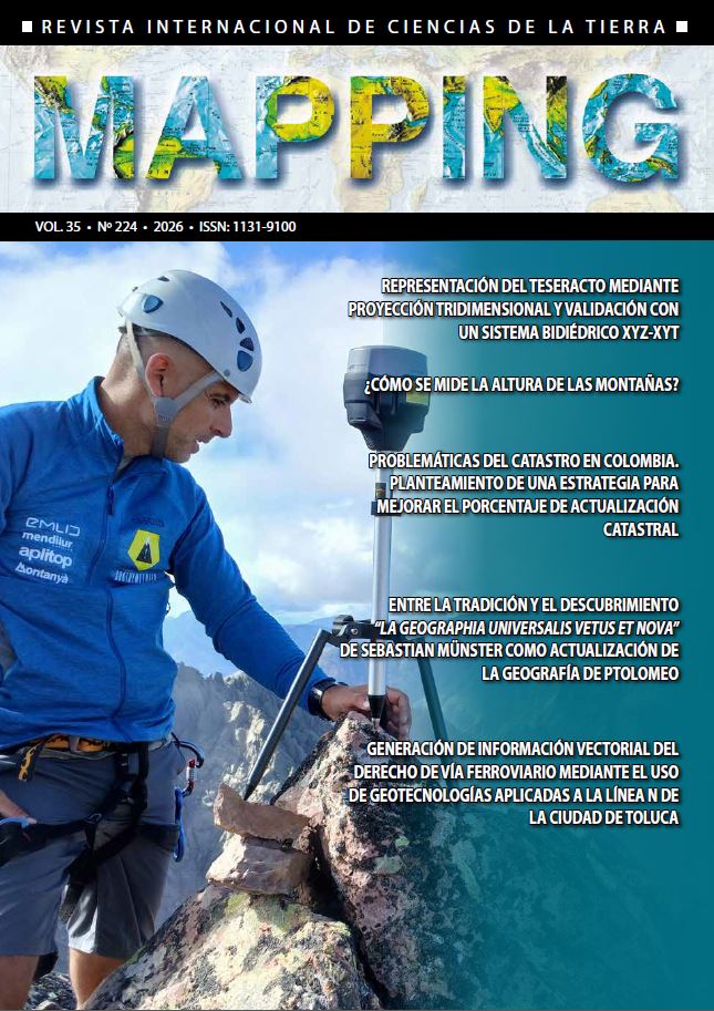
How is mountain height measused?
DOI:
https://doi.org/10.59192/mapping.509Keywords:
Geomatics, Surveying, Elevatio, Elevation, Sea level, Accuracy, Prominence, LiDAR, GNSSAbstract
This paper reviews the main methods for measuring mountain heights throughout history up to the present day. Currently, a team of geomatics and surveying engineers called Sostremetries is updating the elevations of the entire Pyrenees range using the most precise technology and methods available. This project aims to establish a new list of "three-thousanders" (peaks over 3,000 meters) based on objective criteria and accurate measurements.
Downloads
References
Aguilar et al. 2013. Accuracy assessment of commercial self-calibrating bundle adjustment routines applied to archival aerial photography. The photogrammetric record. 28(141): 105-108. https://doi. org/10.1111/j.1477-9730.2012.00704.x
[ASPRS] American Society for Photogrammetry and Remote Sensing. 2013. ASPRS accuracy standards for digital geospatial data. Photogrammetric engineering & remote sensing. https://www.asprs.org/a/society/ divisions/pad/Accuracy/Draft_ASPRS_Accuracy_ Standards_f or_Digital_Geospatial_Data_PE&RS.pdf
[CNIG] Centro Nacional de Información Geográfica. 2023. Centro de descargas. Instituto Geográfico Nacional (IGN). Último acceso: 19 de marzo de 2023. http:// centrodedescargas.cnig.es/CentroDescargas/index.jsp
DuBois J. 1840. Haute-Savoie, Mont Blanc: ascension par Horace Bénédict de Saussure. Bibliothèque de Genève. Ville de Genève, Genève. Referencia: Icon P 1951- 116-6. https://bge-geneve.ch/iconographie/oeuvre/ icon-p-1951-116-6
[EC] European Commission. 2016. Galileo goes live! Bruselas. Último acceso: 21 de marzo de 2023. https:// ec.europa.eu/commission/presscorner/detail/en/ IP_16_4366
Friedt J-M. 2014. Photogrammetric 3D structure reconstruction using Micmac. http://jmfriedt.free.fr/lm_sfm_ eng.pdf
Géomètres-Experts de Haute Savoie. 2021. L’evolution de la mesure. 4810 Mesures & demesure. Último acceso:
de marzo de 2023. https://4810.eu/la-mesure-2
Gulatee BL. 1954. The height of Mount Everest: a new determination (1952-54). Indian Agricultural Research Institute. Survey of India. Nueva Delhi. https://archive. org/details/Everest_201304
[ICGC] Institut Cartogràfic i Geològic de Catalunya. 2011. Especificacions tècniques de la base topogràfica de Catalunya 1:5000 (BT-5M) v2.0 (pdf ). https://datacloud. ide.cat/especificacions/topografia-5000-v2r0-esp- 04ca-20110601.pdf
[IGN] Instituto Geográfico Nacional. 2019. Especificaciones técnicas para la realización del vuelo lidar que permita la obtención de datos altimétricos de precisión (pdf ). https://pnoa.ign.es/web/portal/pnoa-lidar/ especificaciones-tecnicas
[IGN] Instituto Geográfico Nacional. 2021. Especificaciones técnicas para el postproceso de vuelo fotogramétrico digital a 25 cm y 15 cm (PNOA) 2021 (xlsx). https:// pnoa.ign.es/resources/archivos/EspTec/211103_ Espec_PNOA_POSTPROC_18-22-35%20cm.zip
Isenburg M. 2017. Three videos from full day workshop on LiDAR at IIST Trivandrum in India. Parte 1. Minuto 5:45 - 13:00. https://rapidlasso.com/2018/04/27/threevideos-from-full-day-workshop-on-lidar-at-iist-trivandrum-in-india
Just A. 2019. Aportació del LiDAR en la generació de geoinformació 3D. Observació de la Terra. Conferències a jornades (pdf ). Institut Cartogràfic i Geològic de Catalunya (ICGC). Último acceso: 19 de marzo de 2023. https:// www.icgc.cat/ca/Innovacio/Publicacions-tecniques/ Observacio-de-la-Terra
Kasser M. 2015. Historique des mesures de l’altitude du mont Blanc. Revue XYZ. Association Francophone de Topographie. 145(4): 29-30.
Keay J. 2000. The great arc: the dramatic tale of how India was mapped and Everest was named. First American edition. New York: HarperCollins Publishers.
Kleinsteuber M. 2014. Epipolargeometrie. Einführung in computer vision. Technische Universität München (TUM). Fachgebiet Geometrische Optimierung und Maschinelles Lernen.
Lahiri A. 2016. Radhanath Sikdar and the final phase of measuring Peak XV. Indian J. Hist. Sci. 51.2.1.(2016): 280- 288. https://doi.org/10.16943/ijhs/2016/v51i2/48439
Milbert DG, Smith DA. s.f. Converting GPS height into NAVD88 elevation with the GEOID96 geoid height model. National Geodetic Survey. National Oceanic and Atmospheric Administration. Último acceso: 25 de marzo de 2023. https://www.ngs.noaa.gov/PUBS_LIB/ gislis96.html
NOAA. 2023a. National Ocean Service. What is glacial isostatic adjustment? National Oceanic and Atmospheric Administration. EEUU. Fecha de última actualización: 20 de enero de 2023. Último acceso: 25 de marzo de 2023. https://oceanservice.noaa.gov/facts/glacial-adjustment.html
NOAA. 2023b. Is the Earth round? National Ocean Service. National Oceanic and Atmospheric Administration. EEUU. Fecha de última actualización: 20 de enero de 2023. Último acceso: 25 de marzo de 2023. https:// oceanservice.noaa.gov/facts/earth-round.html
[OGC] Open Geospatial Consortium. c2018. LAS Specification 1.4: OGC community standard. http:// www.opengis.net/doc/CS/las/1.4
Parareda C, Soro M, Bosch E, Térmens A. 2007. Un año de experiencias con el servicio RTKAT. https://www.researchgate.net/publication/39119762_Un_ano_de_experiencias_con_el_servi cio_RTKAT
Pavlis N, Holmes S, Kenyon S, Factor J. 2012. The development and evaluation of the Earth Gravitational Model 2008 (EGM2008). J. geophys. res. 117(B4): 1-38. https:// doi.org/10.1029/2011JB008916
Perosanz F. 2019. GNSS: a revolution for precise geopositioning. Comptes Rendus Physique. 20(3): 171-175. https://doi.org/10.1016/j.crhy.2019.05.018
Pratt JH. 1855. On the attraction of the Himalaya mountains, and the elevated regions beyond them, upon the plumb-line in India. Proceedings of the Royal Society of London. 145: 53. https://doi.org/10.1098/rstl.1855.0002
[CAO] Cabinet Office, Government of Japan. 2023. QZSS Satellite Information. Último acceso: 23 de marzo de 2023. https://qzss.go.jp/en/technical/qzssinfo/index. html
Stegman CE. 1982. The problem of numeracy: Mount Everest shrinks. The American statistician. 36(1): 64.
https://doi.org/10.1080/00031305.1982.10482782
[URSC] U R Rao Satellite Center. 2019. IRNSS: Indian Regional Navigation Satellite System. Último acceso: 22 de marzo de 2023. https://www.ursc.gov.in/navigation/irnss.jsp
Van Diggelen F, Enge P. 2014. GPS: an introduction to satellite navigation, with an interactive worldwide laboratory using smartphones. Stanford University. MOOC. https://scpnt.stanford.edu/about/ gps-mooc-massive-open-online-course
Walker JT. 1870. Index chart to the Great Trigonometrical Survey of India. Calcutta. https://upload.wikimedia. org/wikipedia/commons/0/00/1870_Index_Chart_to_ GTS_India-1.jpg
Xinhua. 2020. China launches last BDS satellite to complete global navigation constellation. Último acceso: 22 de marzo de 2023. http://www.xinhuanet.com/ english/2020-06/23/c_139161359.htm
Downloads
Published
How to Cite
Issue
Section
License
Copyright (c) 2026 Revista MAPPING

This work is licensed under a Creative Commons Attribution-NonCommercial-NoDerivatives 4.0 International License.