
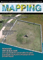
Low-cost UAV technology for 3D-imaging and preservation of geoarcheological record in the las Loras Geopark project (Palencia-Burgos)
Keywords:
VANTS, las Loras, Burgos, Geoparque, UAVs, Geoarqueological Heritage, GeoparkDownloads
Download data is not yet available.
Published
2018-09-05
How to Cite
Fernández Lozano, J., Gutiérrez Alonso, G., Salman Monte, K., Sánchez Fabian, J. Ángel, & García, F. G. (2018). Low-cost UAV technology for 3D-imaging and preservation of geoarcheological record in the las Loras Geopark project (Palencia-Burgos). REVISTA INTERNACIONAL MAPPING, 24(172), 4–11. Retrieved from https://ojs.revistamapping.com/MAPPING/article/view/96
Issue
Section
Artículos Científicos

