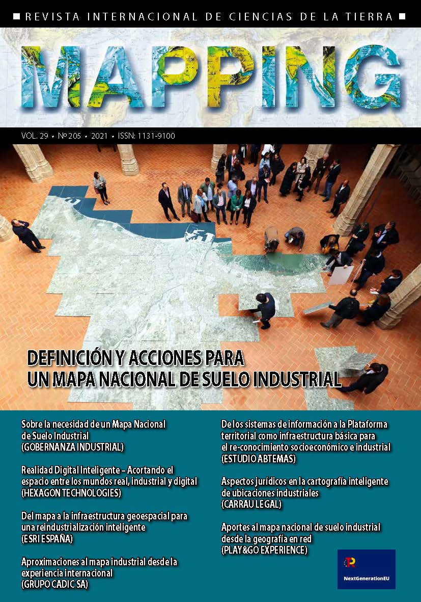
Sobre la necesidad de un Mapa Nacional de Suelo Industrial
DOI:
https://doi.org/10.59192/mapping.346Palabras clave:
suelo industrial, Gobernanza, alianzas, realidad virtual, 3D, Next GenerationResumen
The European Union has proposed to its member states to promote a reindustrialization
process as one of the main recipes to face the economic recovery after
the pandemic. These economic strategies have a strongly territorial component
that demands a cartographic approach for their planning and development.
The commercialization of industrial and logistical land is a very relevant variable
in reindustrialization processes. Not for real estate reasons, but for reasons of
intelligent specialization and efficiency in productive occupation. The commercialization
of industrial land is a correlative process to attracting new business
investments to the territory. Many indicators have shown, however, that the existing
digital industrial land tools offer a very insufficient degree of development
in terms of the true needs demanded by industrial planning in contemporary
society. In 2017 we had the opportunity to construct a first diagnosis on this
situation, through a study that allowed us to inventory, classify, analyze and
compare up to 228 electronic tools for industrial land, both public and private.
This diagnosis yielded devastating conclusions about the weaknesses of our
industrial mapping tools, without any success stories being reported. The article
summarizes the initiatives undertaken since then by Industrial Governance to
try to fill the deficiencies of these resources. Work has been done on tools with a
much more horizontal and integrated vision of the management of data with
industrial relevance, focusing specifically on inter-institutional collaboration and
public-private collaboration.
In creating an environment marked by a governance approach to industrial
development. From a technological point of view, numerous utilities have been
implemented in GIS, augmented reality and 3D rendering environments, to
support the specific functions demanded by industrial planning. Many other
institutions, companies and research groups are working on interesting initiatives
with a similar purpose. Precisely for this reason, the article understands that the
current profile invites actions of a much more pragmatic, energetic and structural
scope in the field of industrial mapping. When the concepts of reindustrialization
and digitalization, raised by the EU as an urgent priority in its reconstruction
plans, come into contact, they lead to the need for a tool such as the National
Map of Industrial Land, understood as a confluence environment in which they
could be integrated In compact form, the objectives, needs and innovations that
the European Union and Spain wish to promote, respectively, through the Next
Generation fund and the National Recovery, Transformation and Resilience Plan.
Public-private collaboration will be an indispensable formula in the approach
to its construction.
Descargas
Descargas
Publicado
Cómo citar
Número
Sección
Licencia

Esta obra está bajo una licencia internacional Creative Commons Atribución-NoComercial-SinDerivadas 4.0.


