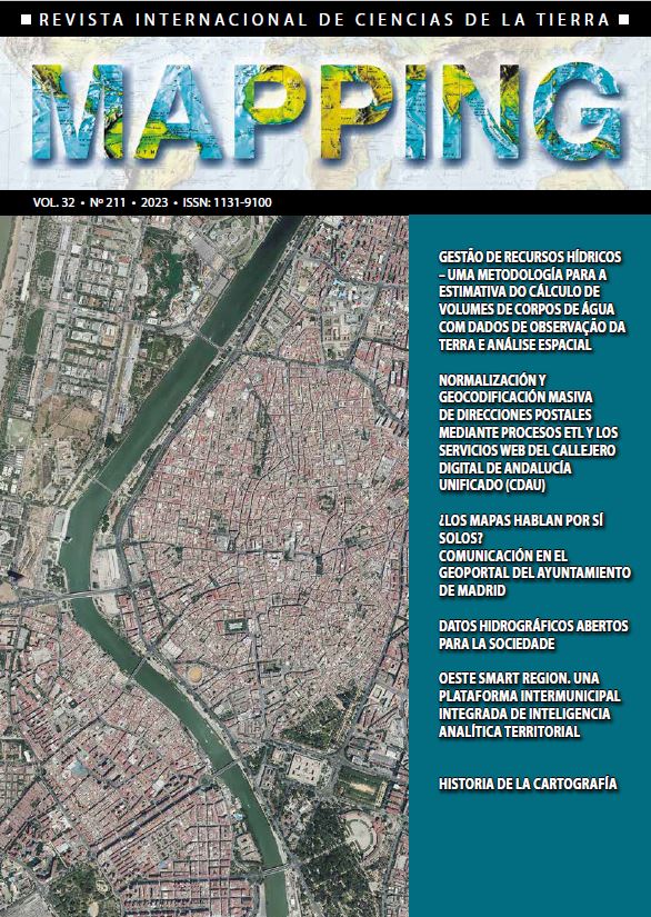
Do the maps speak for themselves? Communication in the Geoportal of Madrid City Council
DOI:
https://doi.org/10.59192/mapping.392Keywords:
Communication, Difusion, Journalism, Strategy, Plan, Professionalization, Audience, Innovation, InformationAbstract
The information published through the Geoportal of Madrid City Council can be freeely consulted, viewed and downloaded free of charge from anywhere in the world. Its data sets, series and map services are described with standardized metadata which define in detail the information published. However, the Laboratory for Geographic Information Technologies considered in 2020 the need to extend the use of its resources to profiles with little or no familiarity with Geographic Information Systems. The communication strategy of the General Subdirectorate for Innovation and Urban Information of the Governement Area for Urban Development is then put into action. Based on an ambitious communication plan, which becomes the backbone of the communicative work activity of the entire subdirectorate, the strategy developed from the professionalization of communication has made the technical information of the Geoportal to reach unimagined levels of diffusion. This article
explains in detail how this communication strategy begins in a system that counts everything by itself, the relevance it has acquired over time and, ultimately, how the communication of georeferenced data in Madrid is currently managed.
Downloads
References
Plan de Comunicación 2021 de la Subdirección General de Innovación e Información Urbana del Ayuntamiento de Madrid.
Resumen ejecutivo del Plan de Comunicación 2021 (SGIeIU).
Revisión anual del Plan de Comunicación 2021 (SGIeIU).
Porfolio de difusión del Plan de Comunicación 2021 (SGIeIU).
Plan de Comunicación 2022 (SGIeIU).
Downloads
Published
How to Cite
Issue
Section
License

This work is licensed under a Creative Commons Attribution-NonCommercial-NoDerivatives 4.0 International License.


