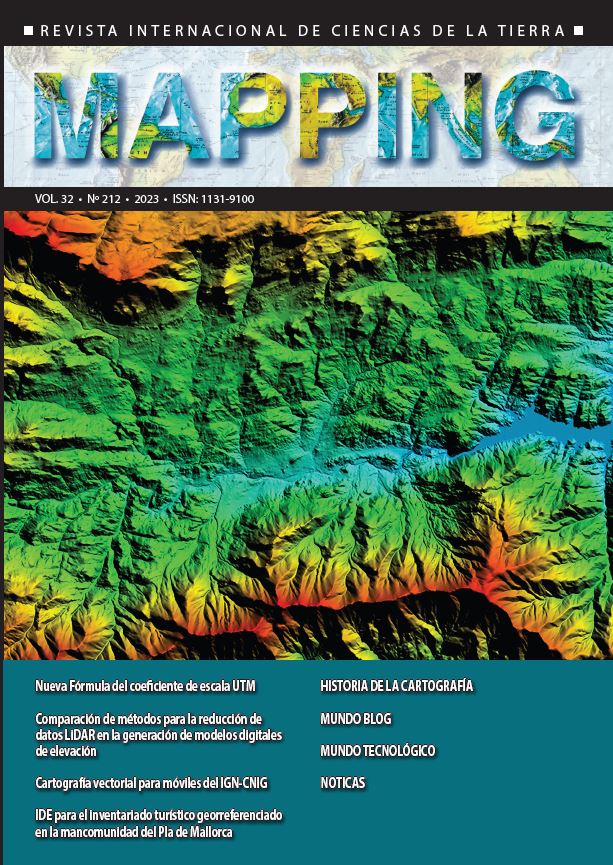
Methods comparison for LiDAR data reduction in the generation of digital elevation models
DOI:
https://doi.org/10.59192/mapping.434Keywords:
Digital Elevation Models (DEM), LiDAR, Uniform Algorithms, OptD, RpA, PpCAbstract
Digital Elevation Models (DEM) are currently considered as a fundamental tool for the study of the earth's surface, allowing to make engineering and scientific evaluations easier. Among the different methods for obtaining input data, LiDAR (Light Amplification by Stimulated Emission of Radiation) technology provides a more efficient and cost-effective capture process, obtaining a point cloud that allows the construction of higher resolution and high quality DEMs. However, the increase in the density and volume of the point cloud is a factor that makes data processing difficult and can generate errors in the DEM. Currently, there are different methods that are used for the reduction of LiDAR data. The main objective of this study is to compare the most relevant LiDAR data reduction methods and the new proposals, in order to establish which of them has greater technical feasibility. According to the results obtained, it was determined that the methods with the best performance in LiDAR data reduction are the uniform algorithms, the RpA algorithm and the new proposals such as the OptD method and the PpC method.
Downloads
References
Becek, K. y Boguslawski, P. (2018). On volume data reduction for LiDAR datasets. Photogrammetry, Remote Sensing and Spatial Information Sciences, 42(4), 40-44. Recuperado de https://www.int-arch-photogramm-remote-sens-spatial-inf-sci.net/XLII-4/41/2018/isprs-archives-XLII-4-41-2018.pdf DOI: https://doi.org/10.5194/isprs-archives-XLII-4-41-2018
Błaszczak-Bąk, W. (2012). The impact of optimizing the number of points of ALS data set on the accuracy of the generated DTM. Technical sciences, 2(15), 265-278. Recuperado de http://www.uwm.edu.pl/wnt/technicalsc/tech_15_2/B06.pdf
Błaszczak-Bąk, W. y Sobieraj-Żłobińska, A. (2018). Standard deviation as the optimization criterion in the OptD method and its influence on the generated DTM. E3S Web of Conferences, 63(11), 1-5. Recuperado de https://www.e3s-conferences.org/articles/e3sconf/pdf/2018/38/e3sconf_bgc18_00011.pdf DOI: https://doi.org/10.1051/e3sconf/20186300011
Buján, S., González-Ferreiro, E., Cordero, M. y Miranda, D. (2019). PpC: a new method to reduce the density of lidar data. Does it affect the DEM accuracy? The Photogrammetric Record, 34(167). Recuperado de https://onlinelibrary.wiley.com/doi/abs/10.1111/phor.12295 DOI: https://doi.org/10.1111/phor.12295
Duque, J. (2015). Comparación Estadística de Métodos Interpolación Determinísticos y Estocásticos para la generación de Modelos Digitales del Terreno a partir de datos LIDAR, en la parroquia deTumbabiro, cantón San Miguel de Urcuquí, provincia de Imbabura. Recuperado de https://repositorio.usfq.edu.ec/bitstream/23000/3569/1/112296.pdf
Fagua, J., Campo, A. y Posada, E. (2016). Desarrollo de dos metodologías para la generación de modelos digitales de terreno (MDT) y superficie (MDS) empleando datos LiDAR y programas de licencia libre. Tecnologías geoespaciales al servicio del desarrollo territorial, (49), 82-95. Recuperado de https://www.researchgate.net/publication/303407265_Desarrollo_de_dos_metodologias_para_la_generacion_de_modelos_digitales_de_terreno_MDT_y_superficie_MDS_empleando_datos_LiDAR_y_programas_de_licencia_libre
Li, Z., Zhu, Q. y Gold, C. (2005). Digital terrain modeling: Principles and Methodology. Recuperado de https://nguyenduyliemgis.files.wordpress.com/2014/11/digital-terrain-modeling-principles-and-methodology_2005.pdf
Paredes, C., Salina, W., Martínez, X. y Jiménez, S. (2013). Evaluación y comparación de métodos de interpolación determinísticos y probabilísticos para la generación de modelos digitales de elevación. Investigaciones Geográicas, Boletín del Instituto de Geografía, UNAM, (82), 118-130. Recuperado de https://www.sciencedirect.com/science/article/pii/S0188461113727900 DOI: https://doi.org/10.14350/rig.35906
Santecchia, G. y Span, J. (2020). Comparación de dos modelos digitales de elevación generados a partir de un sistema UAV e instrumental GNSS. Revista Mapping, 29(201), 50-56. Recuperado de http://ojs.revistamapping.com/index.php?journal=MAPPING&page=article&op=view&path%5B%5D=330&path%5B%5D=170
Yilmaz, M. y Uysal, M. (2017). Comparing uniform and random data reduction methods for DTM accuracy. International Journal of Engineering and Geosciences (IJEG), 2(1), 9-16. Recuperado de https://dergipark.org.tr/en/pub/ijeg/article/286003 DOI: https://doi.org/10.26833/ijeg.286003
Downloads
Published
How to Cite
Issue
Section
License
Copyright (c) 2023 Revista MAPPING

This work is licensed under a Creative Commons Attribution-NonCommercial-NoDerivatives 4.0 International License.


