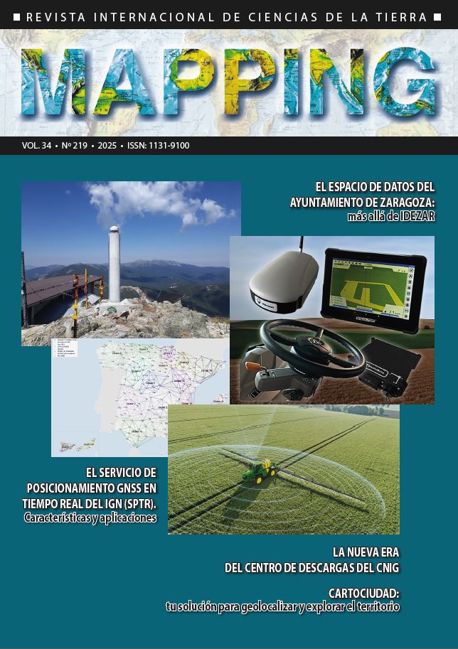
The IGN Real Time GNSS Positioning Service (SPTR). Characteristics and applications
DOI:
https://doi.org/10.59192/mapping.472Keywords:
GNSS, Positioning, Real time, NRTK, IGN, SPTR, ERGNSSAbstract
The Spanish Real-Time Positioning Service (SPTR) is a public and free of charge service provided by the National Geographic Institute (IGN), which allows users to obtain instantly positioning with an accuracy of a few centimeters through corrections transmitted via the Internet (NRTK).
It is carried out in collaboration with most of the Spanish Autonomous Communities that have their own permanent GNSS (Global Navigation Satellite System) stations network. For this purpose, and through the corresponding agreements, the service operates continuously 24 hours a day, providing full coverage throughout the entire national territory, including the islands and the autonomous cities of Ceuta and Melilla.
The SPTR proves to be an ideal tool, especially in fields such as civil engineering, surveying, or precision agriculture, which increasingly rely on this service, as shown by the steady growth in the number of registered users. The data source for this public service consists of permanent GNSS stations that receive signals from global navigation satellite systems, including the European GALILEO, as well as GPS, GLONASS, and Beidou.
Downloads
References
Especial agradecimiento a todos los responsables de las redes regionales cuyas estaciones aportan da¬tos al servicio. Se agradece también a las empresas que han participado en esta publicación aportando fotografías de ejemplos prácticos de uso del SPTR.
Downloads
Published
How to Cite
Issue
Section
License
Copyright (c) 2025 Revista MAPPING

This work is licensed under a Creative Commons Attribution-NonCommercial-NoDerivatives 4.0 International License.


